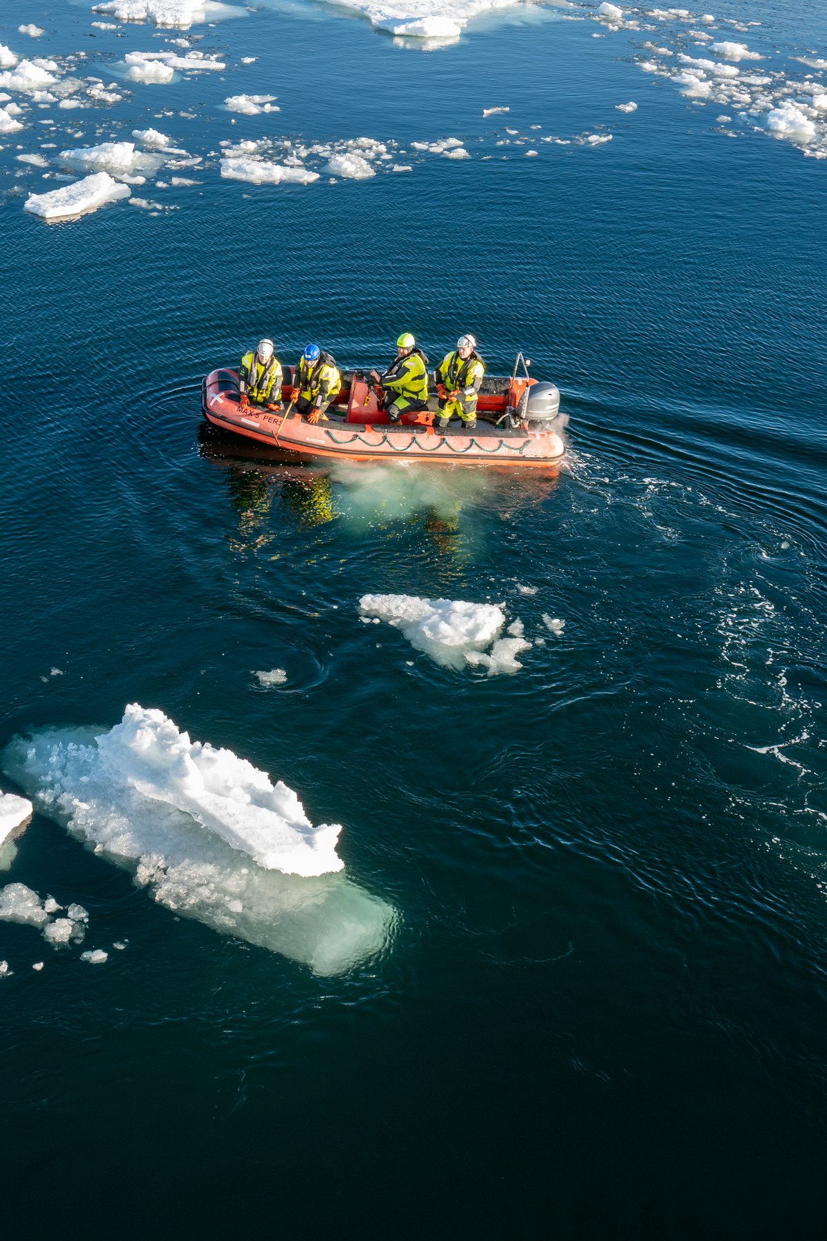
AU Geoscience research in the Arctic integrates terrestrial, lacustrine, marine, and space-based perspectives to advance understanding of environmental change across the Arctic system and the long-term evolution of Arctic landscapes.
Research includes reconstructing past environmental and oceanographic conditions across the land-ocean continuum to understand ice-sheet history and deglacial processes, establish chronologies of ice-mass retreat, identify drivers of natural climate variability over long timescales, and assess the impacts of changing ocean and ice conditions on ecosystems and carbon sequestration. It also examines landscape evolution by quantifying glacial erosion, investigating how topographic change influences Greenland Ice Sheet dynamics, and evaluating the role of erosion and deposition in relative sea-level change in Greenland and beyond.
In addition, research on Greenland's geological and near-space environment seeks to characterize the geology beneath the Greenland Ice Sheet, use ancient rocks to investigate the composition and formation of Earth's earliest continents, and monitor the Arctic sky for meteors, meteorites, and satellites. For this, our research combines a broad range of geological archives and analytical approaches, drawing on marine and lake sediment cores, mapping of glacial landforms on land and the seafloor, samples of rocks and glacial flour, numerical models, camera networks, and satellite observations.
Members:
Relevant links: https://discosat.dk/ and https://geo.au.dk/paleo
Keywords: Paleoclimate and paleoenvironmental change, Ice-sheet dynamics, Landscape evolution, Greenland’s geology, Astronomical and satellite observations